Weather Shift: Dry, Warm Week Begins After Sunday Showers
Highs will reach the mid-60s by Tuesday in cities like Pueblo and Colorado Springs as moisture exits the region.
By Aiko Petrov ·
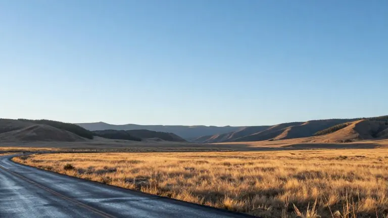
Southern Colorado residents can expect a clear, warmer week beginning Monday, following a final round of late-night rain and thunderstorms on Sunday.
Forecaster data indicates that additional rainfall will remain under one inch across the region. Moisture is projected to exit toward the east and northeast around midnight, clearing the way for a drop in overnight lows to the 40s and upper 30s in many communities.
Temperatures will rebound quickly as dry air takes over. Colorado Springs is forecast to record a low of 38 and a high of 61. In Pueblo, the low will be 45 with a high of 64. Canon City will see a low of 42 and a high of 62. Woodland Park is expected to start the week with a low of 33 and a high of 51, with conditions turning above average by the start of the week.
Mid-60s temperatures are the baseline for the coming days, with readings in the 70s possible around midweek as sunshine persists. The weather pattern is expected to remain stable through the end of the week, with cloud cover decreasing and abundant sunshine returning.
Halloween conditions look favorable, featuring mild temperatures and dry skies. The next potential weather change is not forecast to arrive until the second half of the following weekend.
Source: KOAA News5