7 Years Later: Tesla Adopts Map Strategy It Once Called a Mistake
Tesla is developing an internal mapping system to address persistent navigation errors in its Full Self-Driving software, marking a significant departure from its previous vision-only stance.
By Jacob Leary ·
For over a decade, the automotive industry has debated the optimal path to autonomous driving, yet the debate has largely ignored the practical hurdles of reading basic road signs. Tesla has finally acknowledged that its current vision-based system struggles with fundamental environmental data.
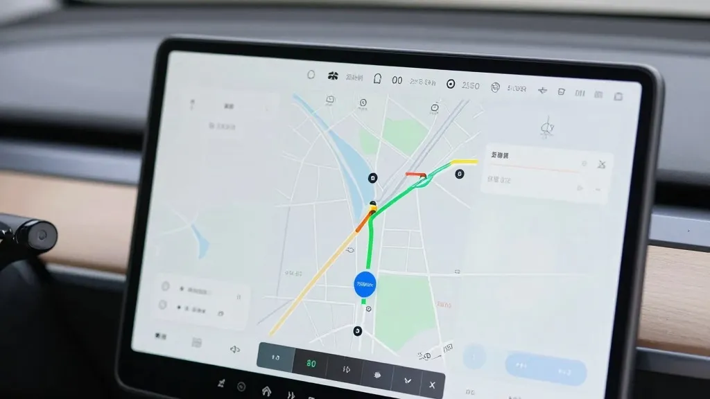
During the Q3 2026 earnings call, Ashok Elluswamy, Tesla’s VP of AI, confirmed that the company is constructing its own mapping infrastructure. This initiative aims to resolve frequent errors in speed limit recognition, parking logic, and route selection. The new architecture will leverage data collected from the existing fleet to create a dynamic navigation layer.
The rollout of this technology is staged. FSD v15 will initially handle the start and end of trips using the new map data. Over the coming months, the system will expand to manage destination handling, parking, and general navigation. Elluswamy emphasized that Tesla should not rely on external providers for this critical data, noting that the system will also learn individual driver preferences and respond to voice commands.
This approach represents a sharp reversal from the company’s public stance in 2019. At that year’s Autonomy Day, CEO Elon Musk described high-precision lane maps as a huge mistake that made self-driving systems brittle. He famously dismissed lidar as a fool’s errand and argued that Tesla’s camera-only approach would work anywhere without detailed cartography. The current plan contradicts that earlier confidence in pure vision.
The need for this shift is evident in recent field data. A Belgian road safety group found that FSD exceeded speed limits in 55% of 30 km/h zones in Brussels, averaging 44 km/h. The vehicle’s interface frequently displayed an incorrect 50 km/h limit. In the United States, the NHTSA is considering an investigation into Robotaxi vehicles speeding through school zones. These incidents highlight that the vision system often fails to interpret simple environmental cues correctly.
Tesla’s new method mirrors the strategy used by Waymo, which builds and updates maps using sensor-equipped fleets. While Tesla does not use lidar, its cars now collect visual data to feed a central map that improves driving performance for the entire network. This aligns with Tesla’s current Robotaxi operations, which run in geofenced areas. A map built from millions of vehicles could become a significant competitive advantage, though it validates the approach Tesla once criticized.
The company has pushed unsupervised FSD for consumer cars to Q2 2027, limiting its current driverless service to its own Robotaxi fleet. As Tesla integrates these map layers, the distinction between its technology and that of its rivals narrows. The move suggests that a hybrid of AI and detailed mapping is currently the most reliable way to handle complex driving environments.
Source: Electrek