Maryland Weather: 1.5 Weeks of Dry Heat Ends With Light Rain
Showers return to the Baltimore metro after a 15-day dry spell, bringing light precipitation and gusty winds before a breezy, colorful weekend.
By Aiko Petrov ·
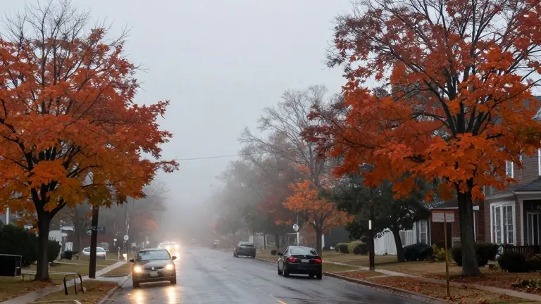
Maryland residents are set to lose their week and a half of dry, warm weather this Wednesday night. The recent stretch of unseasonably high temperatures will end as clouds thicken in the evening and showers begin to fall. Forecasters predict low temperatures in the lower 60s, which is mild for early November.
The primary window for wet conditions will span from midnight into the Thursday morning commute. This marks the end of a dry period that has lasted more than two and a half weeks across the Baltimore metropolitan area. The incoming rain is expected to be light in intensity but sufficient to leave roads and sidewalks wet for morning traffic.
By midday Thursday, the first batch of showers should move out of the region. Afternoon conditions will turn breezy and warm again, with highs reaching the mid-70s. A second round of spotty showers is possible Thursday afternoon and evening. Coverage will be sparse, leaving many neighborhoods dry despite the scattered nature of the precipitation.
The Baltimore Ravens play their game against the Jacksonville Jaguars at M&T Bank Stadium on Thursday evening. Kickoff is scheduled for 8:15 p.m. Forecasters indicate that odds favor a mostly dry game with mild temperatures. An isolated shower or thunderstorm is possible, but any precipitation that impacts the stadium is unlikely to last long. Attendees may want to bring a poncho to be prepared.
Rain and damp conditions will persist into Friday morning for the commute. The back edge of the rain is expected to exit the Baltimore metro before 9 a.m. Communities on the Eastern Shore will experience more widespread rain that lasts longer, ending before lunchtime. Most areas will receive less than 0.50 inches of rain. Eastern Shore communities will see a higher volume of precipitation.
A passing evening shower is possible on Friday as a cold front moves through. This batch of showers will be hit or miss and short in duration. The system will set the stage for a change in wind patterns heading into the weekend.
The upcoming weekend will be dry and seasonably mild. Temperatures will mirror last weekend in the 60s. However, the air will feel cooler due to blustery winds. Winds will blow from the west-northwest at 10 to 20 mph, with gusts reaching 30 mph. A sweatshirt or hoodie is recommended for both days, along with sunglasses.
Peak fall color is currently occurring across much of central and eastern Maryland. The coming weekend offers the best opportunity to view the bright foliage in the Baltimore metro area. By the following weekend, the region will likely be past peak color. Gusty winds will continue on Monday alongside bright sunshine and comfortable temperatures.
Winds will ease on Tuesday, allowing temperatures to warm into the middle to upper 60s. The sky will feature a mixture of sunshine and clouds. This weather pattern concludes the shift from the recent dry spell to a breezy, colorful autumn finish.