Gulf Coast faces sharp drop to freezing levels after warm Veterans Day
Temperatures in the upper 70s on Wednesday will be replaced by gusty northwest winds and a potential first freeze by the weekend.
By Harper Foster ·
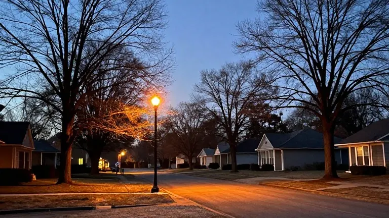
The Gulf Coast weather pattern shifts from dry and cool to warm and then abruptly cold this week. Residents in the Mobile, Alabama, area will experience a swing of nearly 30 degrees between the peak of the week and the weekend low.
Monday begins with patchy frost in inland areas before clearing skies raise highs to the mid-70s. A ridge of high pressure moves overhead on Tuesday, allowing afternoon temperatures to climb into the upper 70s. Overnight lows become milder as the system weakens.
Wednesday offers the warmest conditions of the stretch for Veterans Day. Forecasters expect mostly sunny skies and calm winds, with maximum temperatures reaching the upper 70s. This mild day sets the stage for the most dramatic change in the forecast.
A strong cold front enters the region late Thursday. Gusty northwest winds follow the system, bringing colder air rapidly into the area. Meteorologists note that while a quick shower is possible, substantial rainfall is not anticipated. The primary impact will be the temperature drop.
By the following weekend, temperatures in northern portions of the viewing area could fall well below average. The first freeze of the season is a distinct possibility for inland zones. The exact reach of the freezing conditions depends on how much cold air moves into the region over the next few days.
Forecasters will refine the projection as the system approaches. They plan to update the public on the specific timing of the freeze and how far south the cold air will extend. The current data points to a rapid transition from upper 70s on Wednesday to potentially freezing levels by Saturday.