Record Rainfall Hits California and Florida as El Niño Intensifies
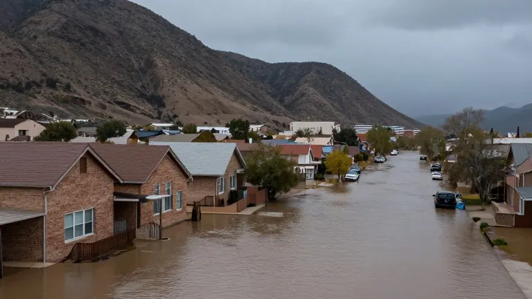
A strong El Niño pattern has triggered record-breaking rainfall and coastal flooding in California and Florida, with forecasters warning of continued heavy rain through the weekend.
By Harper Foster ·
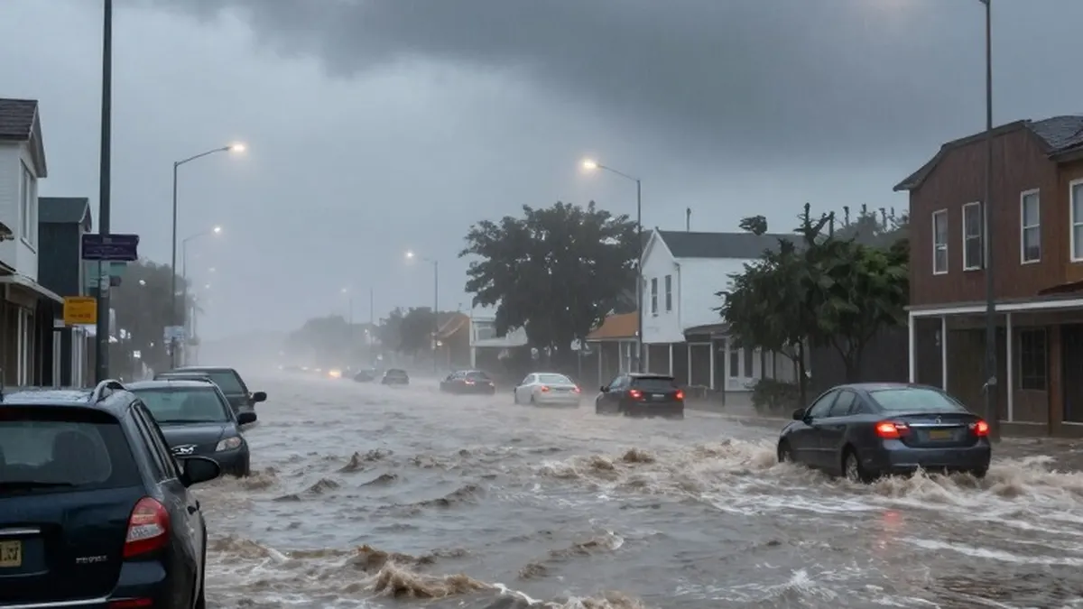
A powerful El Niño weather pattern is driving historic rainfall across both the West and East coasts of the United States, resulting in broken records and significant coastal flooding in California and Florida. Storm systems have pounded these regions through Wednesday and Thursday, marking a dramatic resurgence of the climate phenomenon that influences global weather patterns.
In San Francisco, the downtown area recorded 2.64 inches of rain on Wednesday, establishing a new daily record. This figure surpassed the previous benchmark of 2.24 inches, which had stood since November 18, 1918. Anamaria Navarette, a meteorologist for the National Weather Service in the San Francisco Bay Area, noted that the event completely smashed existing records and emphasized that El Niño is playing a central role in the intensity of the storm.
The heavy precipitation in the Bay Area brought additional hazards beyond the rain itself. Two waterspouts formed over the San Francisco Bay on Wednesday, with another appearing near Santa Cruz to the south. Gusty winds downed trees and power lines, while the rain saturated burn scars from previous wildfires, prompting flash flood warnings in vulnerable areas.
Simultaneously, Florida’s Atlantic coast is experiencing severe weather, with more than a foot of rain falling over a 48-hour period. This deluge is striking the same areas that were already battered by historic rainfall just two weeks prior. The earlier storms had forced the relocation of ballot boxes on Election Day, and the current saturation of the ground has elevated the flash flood risk rating to its highest category.
Melissa Watson, a meteorologist with the National Weather Service in Melbourne, Florida, confirmed that numerous records were broken during the previous day. She stated that the region is currently in a strong El Niño pattern. Because the soil remains saturated from the earlier storms, new rainwater is not seeping into the earth, leading to immediate surface flooding.
Experts believe the severe storms on both coasts are linked to El Niño because the pattern intensifies Pacific storms affecting the West Coast while simultaneously altering the southern jet stream to direct more weather systems toward the Southeast. Data from the National Oceanic and Atmospheric Administration indicates that this season’s El Niño was the second-largest on record for the August through October period, even when accounting for climate change influences. NOAA expects this trend to persist through May.
El Niño occurs when winds near the equator weaken, reducing the upwelling of cold water in the eastern Pacific. This natural cycle drives up global temperatures. In California, most fall and winter precipitation is driven by atmospheric rivers, which are narrow plumes of moisture from the tropical Pacific. A 2022 study found that these storms cause an average of over $1.1 billion in yearly flood damage, with 84% of flood damage in Western states associated with them.
While atmospheric rivers may not be more frequent during El Niño years, they can be more powerful due to warmer Pacific water providing additional fuel. Navarette reported that sea surface temperatures off the coast of Monterey were about 12 degrees Fahrenheit warmer than average. She explained that the moisture surging through the region was definitely amplified by these warm ocean temperatures.
In the Southeast, El Niño typically lowers temperatures but directs storm tracks farther south. Daytona Beach received nearly 5.8 inches of rain on Wednesday, exceeding its previous daily record by more than five inches. As of Thursday morning, approximately 11 million Floridians were under a flood watch. Local officials in Melbourne opened an emergency shelter, while Governor Ron DeSantis deployed hundreds of National and State Guard personnel, highway patrollers, and wildlife officers to assist with the flooding response.
Forecasters expect the rainfall to intensify, with rates reaching up to 4 inches per hour in parts of Florida on Thursday. By Saturday, 4 to 8 inches of rain are anticipated along the coast, with some localized areas potentially receiving 12 to 15 inches. Further flooding is likely as the region continues to contend with the saturated ground and incoming storm systems.
More News · National news · Report a business · Got a Story?