Philadelphia Region Hits 70 Degrees Friday Before Weekend Storm Watch
Temperatures will run 10 to 15 degrees above average through Saturday, with a developing low-pressure system potentially bringing rain Sunday.
By Harper Foster ·
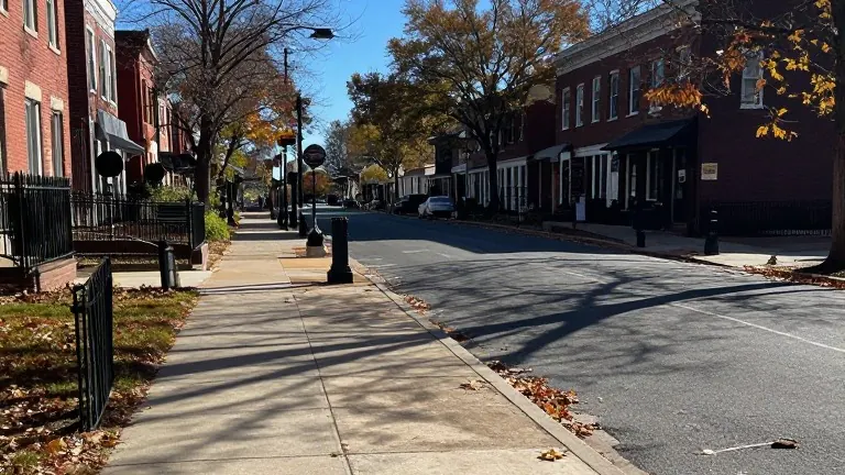
A developing area of low pressure may bring rain to the Philadelphia region Sunday into early Monday, according to the latest forecast. The exact track, timing, and strength of the system remain uncertain. Some forecast guidance places the storm close to the coast, while other models keep it farther offshore. Depending on the final path, the Jersey Shore could experience increasing winds and rougher surf.
The current weather pattern has brought a sharp warming trend to the area. Wednesday saw highs reach 65 degrees under bright sunshine, a significant jump from the 38-degree low. Thursday continues the trend with a high of 67 degrees. Friday marks the peak of the heat, with some communities approaching 70 degrees. This reading is roughly 10 to 15 degrees above the average for mid-November. Saturday remains mild and mainly dry, with a high of 68 degrees.
Forecasters note that the warm spell will end early next week. Temperatures are expected to turn cooler following the potential storm system. Monday brings morning showers and a high of 59 degrees. Tuesday sees the coldest temperatures of the week, dropping to a high of 50 degrees and a low of 36 degrees.
The 7-day outlook for the region is as follows: Wednesday, high 65, low 38. Thursday, high 67, low 37. Friday, high 70, low 39. Saturday, high 68, low 42. Sunday, high 64, low 49 with likely rain. Monday, high 59, low 54 with morning showers. Tuesday, high 50, low 36.