California Surf: West-facing beaches face 10-foot swells this weekend
Newport Beach officials view the event as a test for recent sand berm construction, while NWS monitors elevated water levels from El Nino.
By Aiko Petrov ·
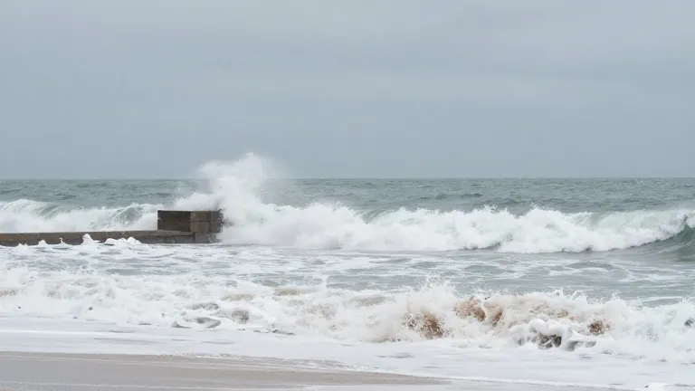
A substantial ocean swell is expected to impact Southern California west-facing beaches starting Saturday and continuing through Sunday. Sebastian Westerink, a meteorologist for the National Weather Service, reported that wave sets along Orange County beaches could reach heights of 8 to 9 feet. Forecasts from Surfline indicate that the Manhattan Beach Pier may see waves between 8 and 10 feet on Saturday, while Hermosa Beach is projected to experience 6 to 8 feet of surf during the same period.
Westerink noted that current tide levels are mid-range, which mitigates the immediate risk of coastal flooding. He explained that higher tides occurred in the previous week, while king tides are scheduled for late in the month. "We're kind of in the middle of that period," Westerink said. "The tides will be relatively lower, which will keep the coastal flooding risk lower, for now."
For Newport Beach, the incoming weather system serves as a practical evaluation of infrastructure built after severe flooding in early October. Mike Ure, the city's Marine Safety Battalion Chief, stated that the city has been actively hauling in sand and constructing berms to defend against high surf and the king tides anticipated around Thanksgiving. Ure described the municipal stance as "optimistically cautious." He noted that the westward direction of the swell differs from the south swells that caused extensive flooding on the Balboa Peninsula in October.
Ure indicated that the specific direction of this swell might help redistribute sand that summer south swells pushed toward Huntington Beach. While erosion remains a concern, the lower average tide provides a controlled environment to assess the effectiveness of the new defenses. "This will be a good test, with the lower tide average, to see what larger surf will do," Ure said. "I'm sure we will get run up on the beach, but they are bermed. We're ready to use this as a test run."
Background factors continue to influence local water levels. Warmer-than-normal water conditions associated with El Nino and Kelvin waves from the equator have pushed sea levels to record highs, approximately 20 inches above usual averages. This elevation has contributed to recent flooding incidents in bays and harbors where seawalls are insufficient. Ure added that the current low-pressure storm system may further lift water levels. "They call it storm surge; the storm is a low-pressure (system) that lifts the water levels more," he said.
The National Weather Service high surf advisory remains in effect from 4 p.m. Friday through 10 a.m. Sunday. The system is expected to bring rain to the region, adding a secondary variable to the coastal conditions.
More News · Newport Beach news · Report a business · Got a Story?